St. Louis County Property Ownership Intelligence Report
A complete ownership concentration analysis of every parcel in St. Louis County, Missouri. Built from public county assessor records, this report identifies the multi-entity LLC networks, institutional operators, and out-of-state investors that shape the most active real estate market in the state.
Key findings
The St. Louis County dataset reveals patterns of ownership concentration that are invisible in individual property lookups but emerge clearly when 400,000+ parcels are analyzed simultaneously.
Clayton (63105) dominates the concentration landscape. Ten of the top 25 highest-scoring clusters are located in the 63105 ZIP code — Clayton's central business district. As the county seat and the preferred office location for real estate investment firms, property management companies, and law firms, Clayton serves as the management hub for portfolios spanning the entire county.
231 S Bemiston Avenue: 61 entities, 267 parcels, $264.8 million. This single Clayton office address is the mailing location for 61 distinct LLCs and corporations that collectively control over a quarter-billion dollars in St. Louis County real estate. The pattern reveals a major management hub coordinating distributed property holdings across the county.
6506 Wright Way: 27 entities, 584 parcels. The highest parcel-to-entity ratio in the county. While other clusters concentrate value, this address concentrates volume — 27 LLCs holding nearly 600 properties with an average distress score of 21.3, suggesting a portfolio heavily weighted toward older, lower-value housing stock.
Out-of-state ownership: 24,104 parcels. Six percent of the county is owned by entities or individuals with mailing addresses in other states. The top sources are California (3,701 parcels), Illinois (2,033), Texas (2,007), Ohio (1,975), and Florida (1,943) — driven primarily by institutional single-family rental operators and West Coast investment funds targeting Midwest markets for yield.
68 clusters with 20+ distinct entities. The highest-density tier of ownership concentration. These addresses include known institutional operators, registered agent offices, major real estate management firms, and law firms serving multiple investment clients. An additional 222 clusters fall in the 10-19 entity range.
What you receive
A complete county intelligence package — PDF report and companion CSV — delivered as instant digital downloads.
FULL-COLOR PDF (160+ PAGES)
Executive dashboard, geographic treemap visualization, scatter analysis, municipality breakdown, top 25 clusters by two ranking methods, entity rosters for the top 100 clusters, CSV quick-start guide, full methodology, and legal disclaimer.
COMPANION CSV (50,809 ROWS)
16 columns covering Cluster ID, Cluster Address, City, State, Entity Count, Parcel Count, Risk Score, Total Appraised Value, Entity Name, Locator, Property Address, Property Class, Appraised Value, Owner State, Distress Score, and Deed Type. Open in Excel, Google Sheets, Power BI, or Tableau.
Who this report serves
Related-party transactions
Identify when buyer and seller LLCs share a mailing address — context that warrants additional chain-of-title verification.
Borrower exposure
Cross-reference loan portfolios against ownership clusters to identify concentrated counterparty risk hidden behind separate LLC names.
Market intelligence
See which submarkets are saturated by institutional operators and where local investor portfolios are concentrated.
Competitive analysis
Identify the dominant operators in your target submarkets and understand how their holdings are structured.
Due diligence
Map entity networks behind property transactions for litigation, transactional, and estate planning matters.
How we built this report
The report is generated from publicly available St. Louis County Assessor parcel records via the ArcGIS Hub open data portal. We normalize owner names and mailing addresses, then identify addresses where three or more distinct entity names share the same normalized mailing location. Each cluster receives a composite concentration index based on entity count, total appraised value, out-of-state ownership ratio, distress signals, and quitclaim deed patterns. Known registered agent addresses and virtual office providers are excluded to reduce false positives.
For complete methodology details — including the normalization functions, clustering threshold rationale, and concentration index formula — see the methodology page.
Get the complete St. Louis County analysis
PDF + CSV. Instant download. 14-day refund for material factual errors.
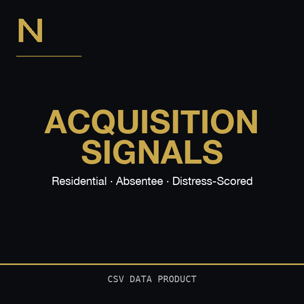
Need just the distressed individual parcels?
The St. Louis County Acquisition Signals CSV ($149) gives you 24,768 absentee-owned residential parcels scored on 8 distress signals — ranked CSV, no PDF, no cluster analysis.
See Acquisition Signals — $149 →Related resources
Additional reading on the data and methodology behind this report:
- St. Louis County Property Ownership Report: 4,931 Clusters Identified — Data-rich overview article
- Out-of-State Investor Footprint: Who Owns St. Louis County Real Estate?
- What Is Ownership Concentration Risk in Real Estate?
- Institutional SFR Investors in Missouri
- See a sample report
- Full methodology
- Frequently asked questions
Also available
St. Charles County, Missouri
Fastest-growing county in the metro. Institutional SFR operators mapped.
City of St. Louis, Missouri
Urban core. Highest vacancy and absentee rates in the metro.
Complete Metro Bundle
All 3 jurisdictions. Save $698 vs. individual purchase.